By Erin Durkin New York Daily News
Owners of properties will have to be forced to elevate their buildings or face skyrocketing insurance premiums. A Port Authority spokesman said the WTC was designed above the flood plain.
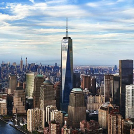
The World Trade Center site has been classified as a danger flood zone, though Port Authority says it has been designed to be above the flood plain.
Federal officials have added thousands of buildings to their flood danger zones in the wake of Hurricane Sandy — including the World Trade Center site.
Owners of properties added to the Federal Emergency Management Agency’s flood maps may be forced to elevate their buildings several feet or face skyrocketing insurance premiums. FEMA also added parts of lower Manhattan, the upper East Side, Red Hook and Greenpoint.
A Port Authority spokesman said plans for the WTC site were designed to be above the flood plain. A spokesman for the 9/11 Memorial Museum said its design includes flood-proofing.
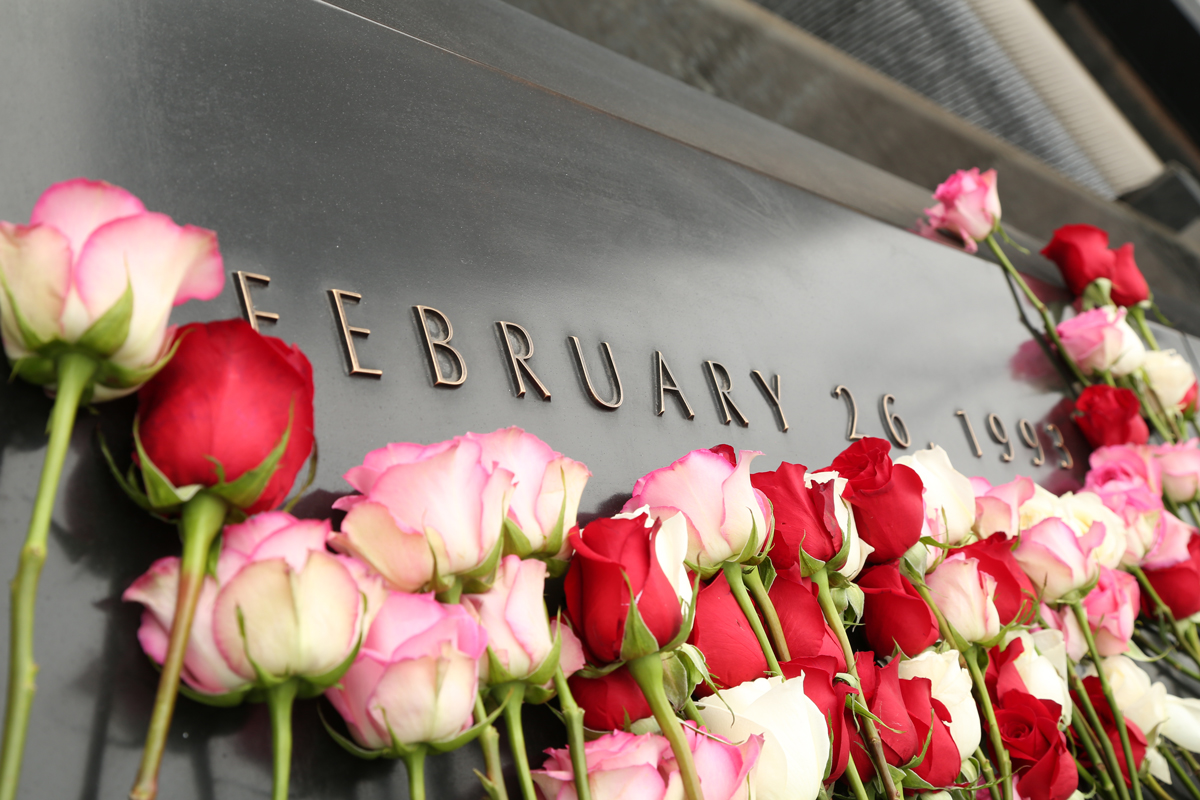
But lawyer Norman Siegel, who represents families fighting a plan to bury unidentified human remains in the museum said the flood designation is another reason to worry about placing remains 70 feet underground.